- calendar_today October 20, 2026
Nor’easter Storm Churns Up the East Coast
A powerful nor’easter storm is currently brewing off the East Coast, expected to bring several days of heavy rain, wind, and the possibility of coastal flooding to the easternmost regions of the United States. The storm, which remains offshore, is intensifying and will primarily affect areas from the Jersey Shore to Cape Hatteras, with potential impacts further north in Cape Cod and Nantucket in the coming days.
Storm Path and Expected Impacts
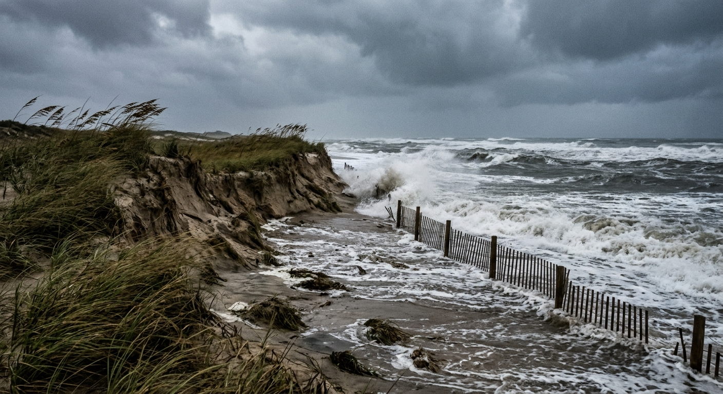
The storm is forecast to stay far enough offshore to spare much of the mainland from its heaviest rainfall. However, strong winds and coastal flooding remain significant threats, particularly for communities along the Outer Banks and stretches of the Jersey Shore. Flood advisories have been issued along these coastal regions due to predicted inundation of 1 to 2 feet caused by persistent onshore winds.
Coastal Flooding and Beach Erosion
Authorities warn that the combination of storm surge and high tides could lead to coastal flooding and beach erosion in vulnerable shoreline communities. This risk is especially pronounced in places such as the Outer Banks, where onshore winds are creating hazardous conditions. Beachfront areas from New Jersey southeast to Cape Hatteras are closely monitoring the situation as the storm develops.
Storm Winds and Localized Advisories
Winds associated with this nor’easter storm are projected to be particularly strong across eastern areas. On Nantucket, gusts are forecast to reach up to 44 mph. Cape Hatteras may see winds up to 39 mph, while Virginia Beach could experience gusts around 32 mph. These conditions are making storm advisories and warnings a priority for local authorities as they prepare for potential power outages and property damage.
Potential for Further Development
Meteorologists are closely monitoring the offshore nor’easter for the possibility that it could organize into a tropical storm. There is a 40% chance of such development within the next two days, and a similar probability over the next seven days. Should it intensify to meet tropical storm criteria, it would be named Josephine. Regardless of formation, any further intensification is expected to propel the storm farther east, away from the U.S. coast.
Heavy Rainfall and Surf Hazards
Although the bulk of the storm’s rain is forecast to remain offshore, areas such as Cape Cod and Nantucket are likely to experience heavy rainfall and coastal flooding. Beginning on Thursday, these regions can also anticipate rough surf and hazardous rip currents as a result of the ongoing storm winds and ocean conditions.
Other Regional Weather Concerns
In addition to the nor’easter, a separate storm system in the Pacific Ocean is threatening the western U.S., with risks of heavy rain, flooding, and mountain snow. Flash flooding is a concern from Southern California to the Rockies, with flood watches in effect for over six million people in Arizona, including the cities of Phoenix and Flagstaff. Southern California coastal counties such as San Luis Obispo and Santa Barbara, as well as the Four Corners states, are under advisories for storm rainfall and potential floods through Thursday.
Continued Storm Monitoring
Emergency officials and meteorologists will continue to monitor the nor’easter’s progress, updating advisories and warnings as conditions change. Residents in affected coastal communities are advised to remain alert for storm watch notifications and heed local guidance regarding potential flooding and strong winds.
Source: nbcnews.com.