
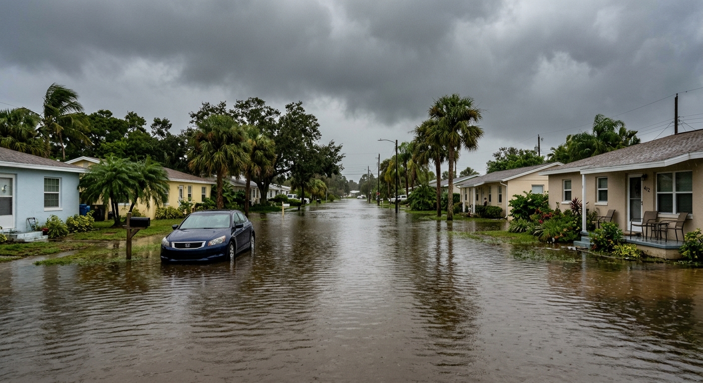
AI-generated illustration; not a photograph of the reported event.
- calendar_today November 20, 2026
Widespread Flooding Strikes Florida’s Atlantic Coast
Heavy rains have left much of Florida’s Atlantic coast under water following devastating storms that began earlier this week. As floodwaters continue to rise, dozens of high-water rescues have taken place and authorities are warning that the flood threat could last into the next week. Forecasters anticipate that the St. Johns River, already at record levels, will remain dangerously high through early next week.
Flood Warnings Stretch Over 200 Miles
The National Weather Service has issued flood warnings and watches along roughly 200 miles (320 kilometers) of Florida’s east coast, from just south of Melbourne up to the Jacksonville area. Predictions call for an additional 2 to 6 inches (5 to 15 centimeters) of rainfall by Saturday, with isolated areas possibly receiving up to 10 inches (25 centimeters). The weather service has warned that, “Severe, widespread flash flooding is expected… In addition, areas that normally do not experience flash flooding will flood. Furthermore, lives and property (are) in great danger.”
St. Johns River at Record-Breaking Levels
The St. Johns River, Florida’s longest, surpassed its previous record near Cocoa, set in 1953. The National Weather Service predicts the river will remain at least 2 feet (61 centimeters) above flood stage into the early part of next week. The continued rise poses significant risk to communities along the river’s path.
Emergency Responses and Community Impact
First responders have been active across affected regions. In Brevard County, officials reported nearly 100 high-water rescues—from both people and horses. The Blue Lake Equestrian Center in Cocoa saw dozens of horses and other animals rescued from floodwaters and relocated to safer ground. In the city of Palm Bay, mandatory evacuations were enacted for some residents of a mobile home park, and shelters opened for those forced from their homes. Nearly 200 Florida National Guard personnel with 50 high-water vehicles have been deployed, and the Florida Fish and Wildlife Conservation Commission has sent about 235 officers to aid in emergency response efforts.
Heavy Rainfall and Record-Setting November
Some eastern Florida areas have seen over 17 inches (43 centimeters) of rain since Tuesday, according to preliminary National Weather Service data. Several locations are recording their wettest November on record, following additional heavy rains earlier in the month—an unusual pattern during what is normally Florida’s dry season from October to May. The storms also spurred water rescues on the Space Coast and forced rivers over their banks.
Ongoing Weather Threats and El Niño Influence
The National Hurricane Center reported that a nontropical low-pressure system was expected to form Friday, which could become a subtropical or tropical storm along the southeastern U.S. coast. As a result, communities along the southeast and mid-Atlantic coasts should prepare for strong winds, dangerous surf, and further coastal flooding into next week ahead of Thanksgiving. According to forecasters, persistent high pressure over Virginia and a stationary front in the Gulf, combined with El Niño—a natural warming in the Pacific—have driven the recent severe weather. El Niño conditions are expected to last through spring, suggesting more extreme weather for Florida and beyond over the winter months.
Related Impacts Beyond Florida
Other parts of the country are also experiencing significant weather events. The California coast, from Los Angeles to San Francisco, was hit by similar flooding, forcing road closures and leaving neighborhoods under water.
Related coverage
Source: abcnews.com.


